Top

Randonnée hivernale jusqu'au Schillerhof

Welschnofen, Karersee, Tiers
Add to favourites
Difficulty
Intermediate
Activity time
3:32
Duration in hours
Distance
12.4
Distance in km
Status
closed
Categories
  • Winter hiking
Tags
  • Round trip
Suggested period
Jan
Feb
Mar
Apr
May
Jun
Jul
Aug
Sep
Oct
Nov
Dec
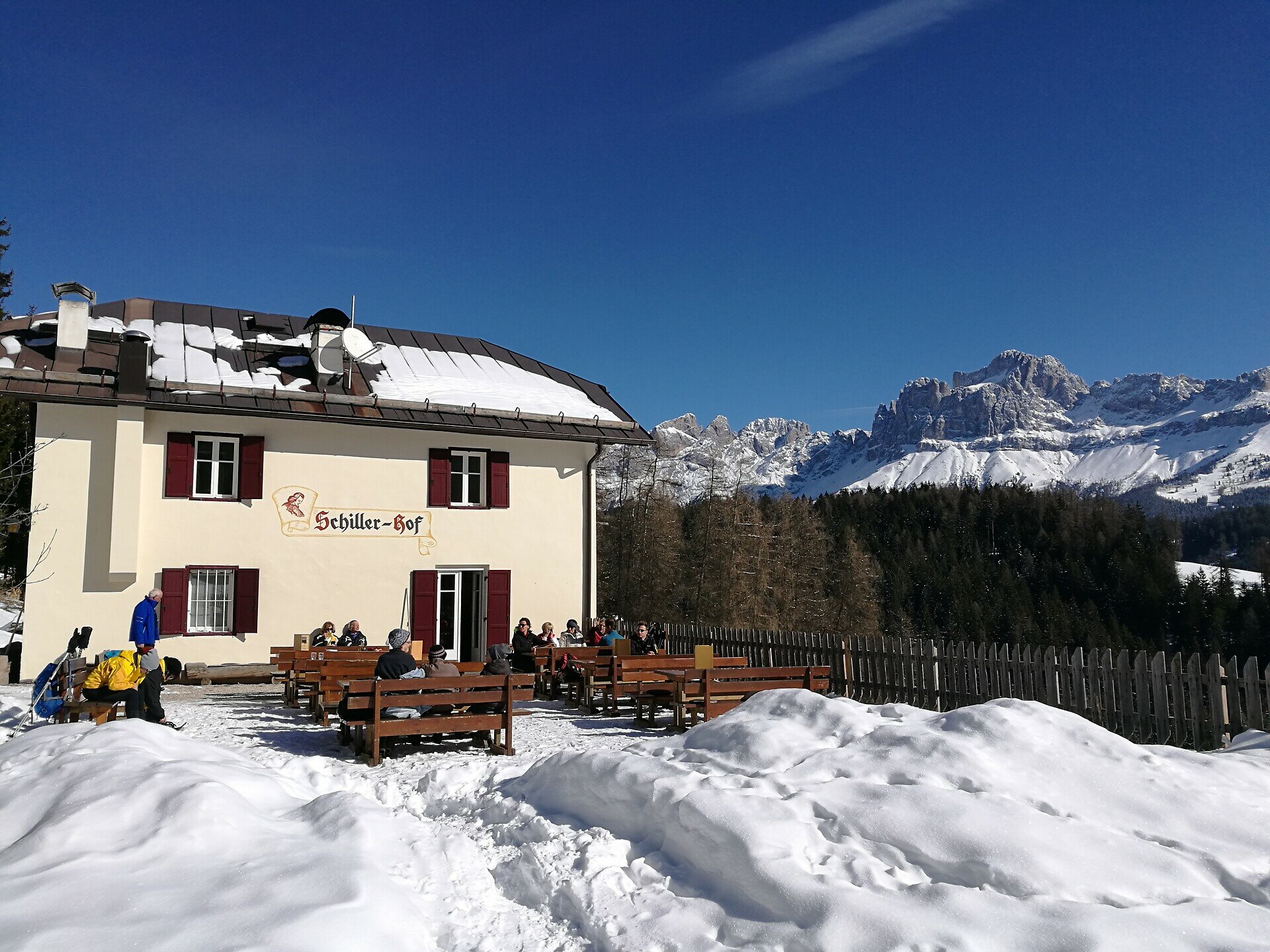
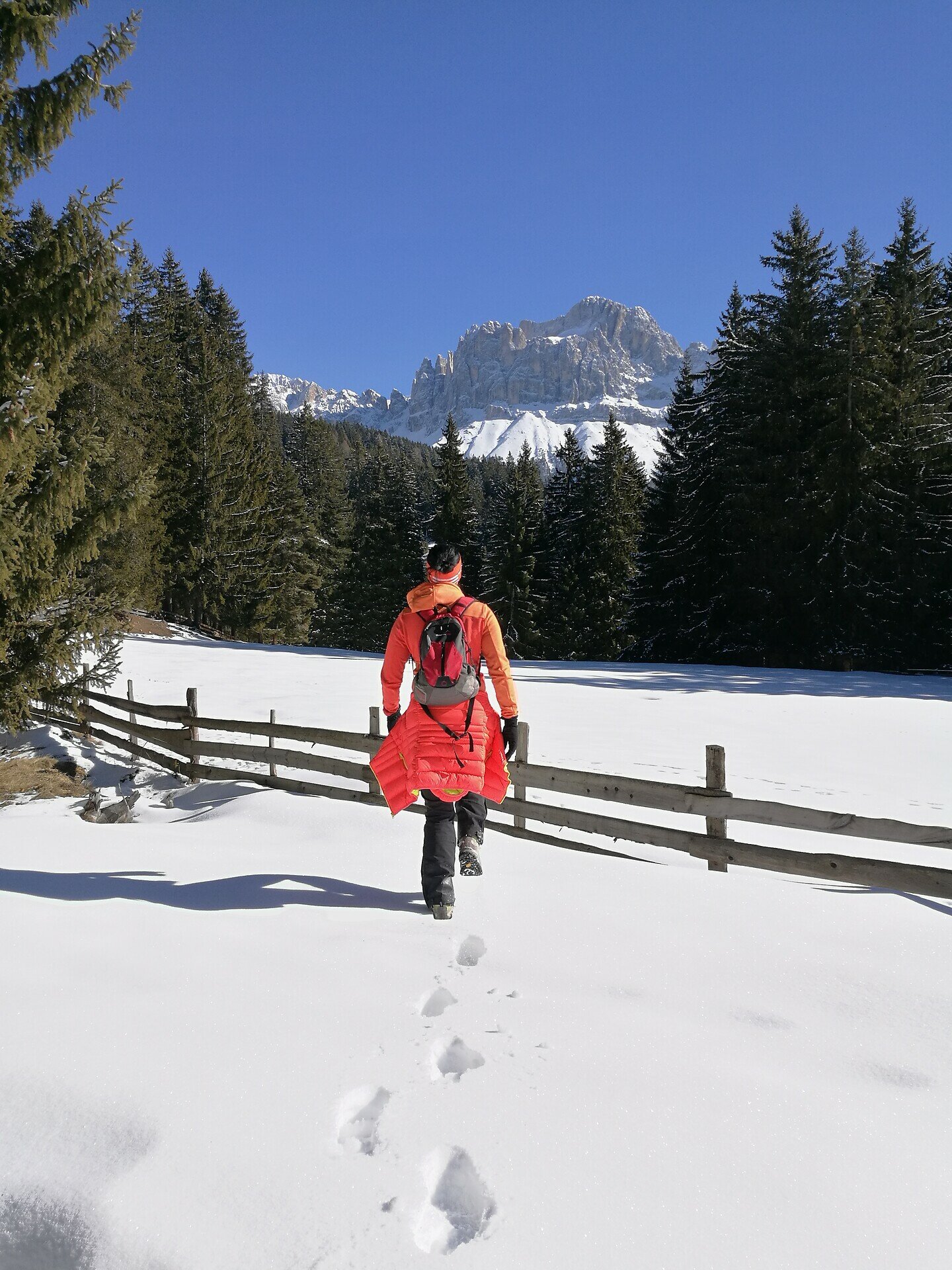
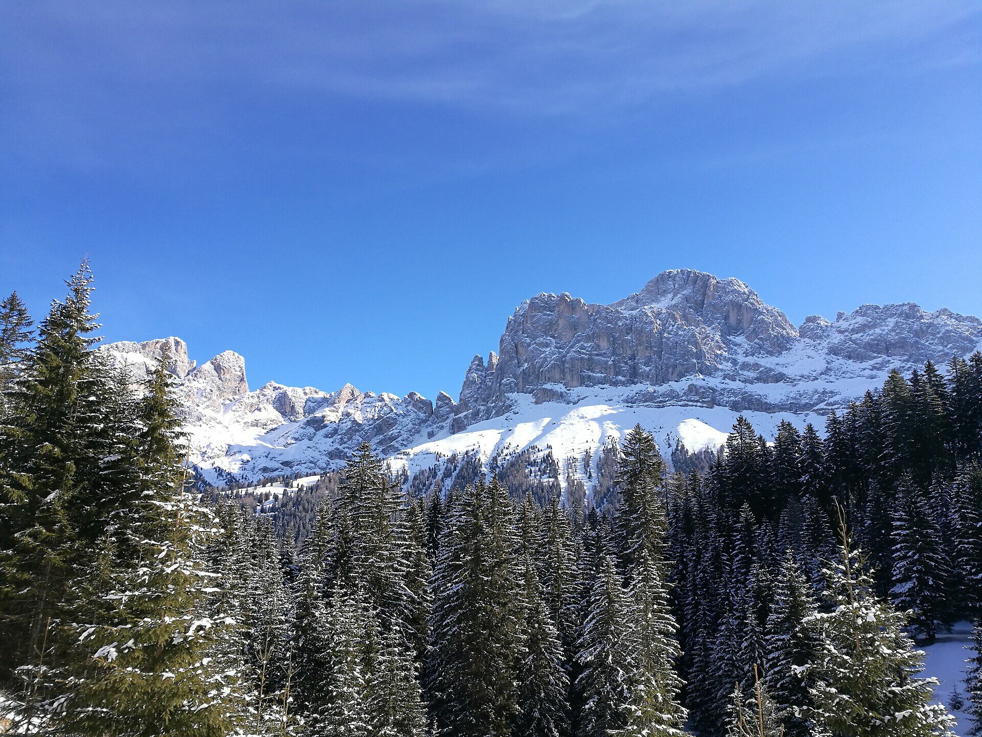
This winter hike expedition to the Schillerhof arm leads you over gently undulating countryside above the Tierser Valley. It boasts breathtaking views over the Rosengarten mountain, and is not particularly challenging on a technical level.
Gallery
Categories
  • Winter hiking
Tags
  • Round trip
Route info
Intermediate
Distance
12,4 km
Activity time
3 h 32 min
Ascent
368 m
Descent
368 m
Technical skills
Physical effort
Scenary
Highest point
1.715 m
Lowest point
1.502 m
You might be interested in
Discover related tours
Welschnofen
Randonnée hivernale du lac de Carezza à Obereggen par le « Templweg »
Distance 7,1 km
Activity time 1 h 55 min
Ascent 77 m
Descent 90 m
Status
open
Intermediate
Add to favourites
Welschnofen
Randonnée hivernale sur la promenade Sissi au lac de Karersee
Distance 10,8 km
Activity time 2 h 55 min
Ascent 160 m
Descent 160 m
Status
open
Intermediate
Add to favourites
Welschnofen
Randonnée hivernale de Welschnofen au lac de Carezza
Distance 9,3 km
Activity time 2 h 54 min
Ascent 518 m
Descent 518 m
Status
open
Welschnofen
Randonnée hivernale du parking de Paolina au lac de Carezza
Distance 2,0 km
Activity time 29 min
Ascent 23 m
Descent 91 m
Status
open
Welschnofen
Circuit hivernal de difficulté moyenne autour du lac de Carezza
Distance 2,7 km
Activity time 44 min
Ascent 64 m
Descent 69 m
Status
open
Karersee, Tiers, Welschnofen
Randonnée hivernale jusqu'au refuge du Messnerjoch
Distance 3,8 km
Activity time 1 h 17 min
Ascent 239 m
Descent 239 m
Status
closed