




Top

Rosengarten Circuit

Karersee, Tiers, Welschnofen
Add to favourites
Difficulty
Difficult
Activity time
4:35
Duration in hours
Distance
10.7
Distance in km
Status
open

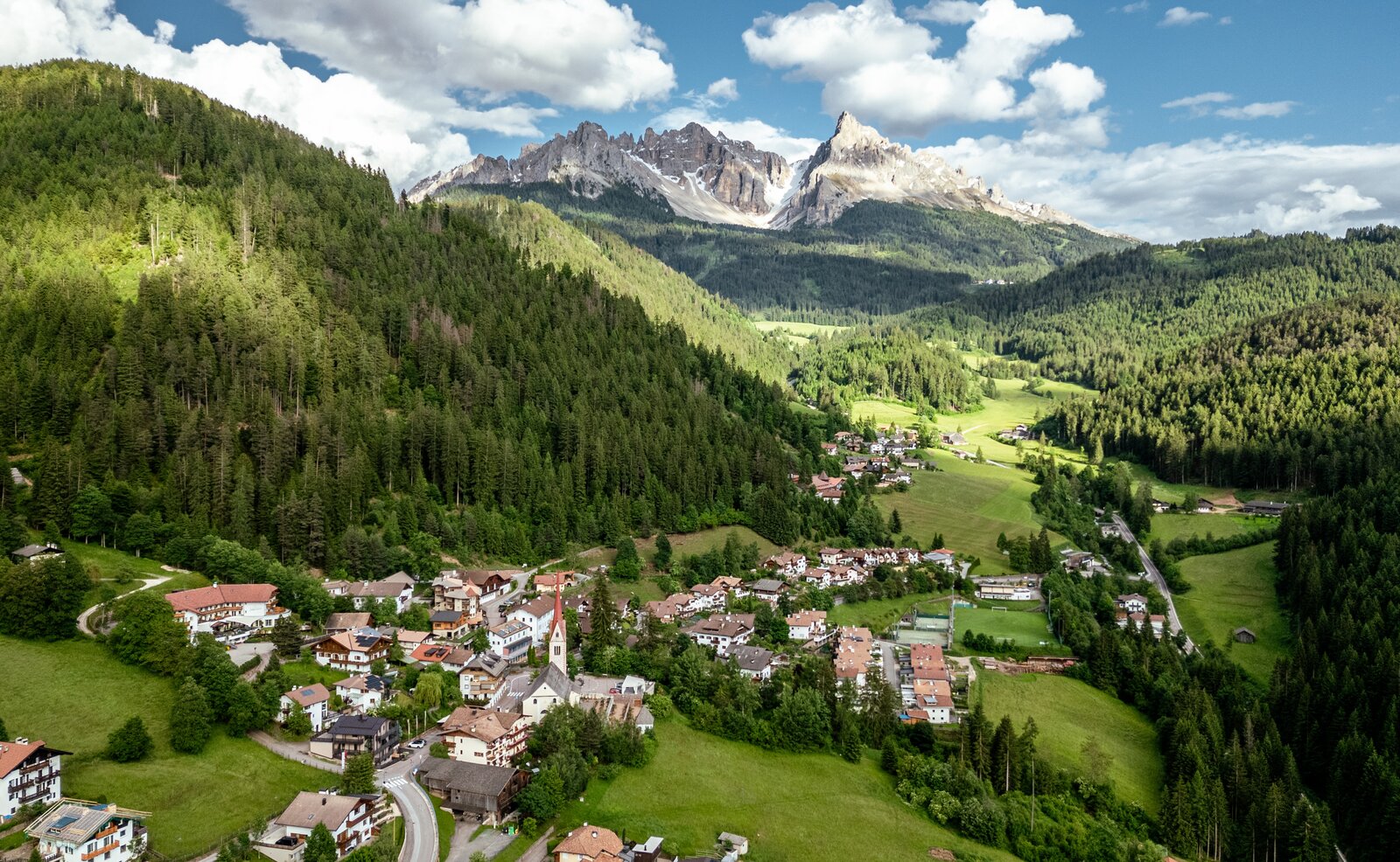
This varied yet demanding circular hike around the Rosengarten massif is one of the most impressive tours in the region. The circuit around this striking Dolomite massif offers an intense nature experience with numerous scenic highlights. If you want to experience the unique mountain world of the UNESCO World Heritage Dolomites up close, this tour is exactly right for you. Following in the footsteps of King Laurin, the panoramic high-altitude hike leads you around the Rosengarten group. In total, you will cover around 12 kilometers and approximately 800 meters of elevation gain. The route passes over Tschagerjoch and Cigolade Pass and follows sections of the Hirzel trail. On the return, impressive panoramic views of the surrounding peaks and valleys continuously unfold, showcasing the diversity of this extraordinary landscape.
Gallery
Route info
Difficult
Distance
10,7 km
Activity time
4 h 35 min
Ascent
760 m
Descent
763 m
Physical effort
Scenary
Highest point
2.631 m
Lowest point
2.223 m
You might be interested in
Discover related tours
Welschnofen
Randonnée de l'Alpage Stadl
Distance 7,7 km
Activity time 2 h 05 min
Ascent 79 m
Descent 244 m
Status
open
Intermediate
Add to favourites
Welschnofen
Boucle de randonnée à Taltbühl vers Totmoos et la fosse du loup
Distance 10,3 km
Activity time 2 h 58 min
Ascent 377 m
Descent 376 m
Status
open
Welschnofen
Randonnée familiale du lac de Karer à la Stadl Alm
Distance 4,2 km
Activity time 1 h 04 min
Ascent 31 m
Descent 82 m
Status
open
Welschnofen
De la Frommer Alm au lac Karer
Distance 5,6 km
Activity time 1 h 29 min
Ascent 70 m
Descent 256 m
Status
open
Welschnofen
Tour du Kaiserstein
Distance 16,8 km
Activity time 1 h 45 min
Ascent 113 m
Descent 256 m
Status
open
Intermediate
Add to favourites
Karersee, Welschnofen
Par le sentier Hirzel jusqu'au monument Christomannos
Distance 8,6 km
Activity time 2 h 38 min
Ascent 399 m
Descent 399 m
Status
open